To begin with South India, as predicted, rains have reduced significantly over entire south peninsula. However, scattered light to moderate rains continued over Kerala and parts of Tamil Nadu. Now we expected further reduction in rain intensity over entire South India. Moreover, we also expect Northeast Monsoon to remain subdued for the next two to three days. Meanwhile, isolated light rains cannot be ruled out over Interior Tamil Nadu and parts of Kerala. Weather of Interior Karnataka, Andhra Pradesh and Telangana will remain dry.
Moving to Central India, northeasterly winds are blowing over most parts of Maharashtra, Madhya Pradesh and Chhattisgarh. Therefore, we expect marginal decrease in day and night temperatures over all these states. In fact, as an anti-cyclone is persisting over western parts of Rajasthan, we expect absolutely dry weather over entire central parts of the country. Drop in temperatures is also likely over parts of West Rajasthan and North Gujarat.
Up in North India, A feeble Western Disturbance is over North Pakistan and adjoining Jammu and Kashmir. No effect will be seen over the hills of India. However, sky may become partly cloudy over parts of Jammu and Kashmir and Himachal Pradesh. Weather of northern plains will continue to be dry. Delhi pollution has decreased and at present most places are in moderate category with very few pockets in poor category. Further also, we do not expect much change in pollution levels as they will remain in moderate category for coming two day.
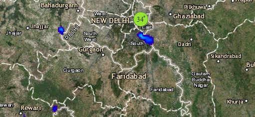
Click the image below to see the live lightning and thunderstorm across India
Lastly in East/Northeast India, easterly winds are blowing over Bihar, Jharkhand, West Bengal, Odisha and northeastern states. Thus, marginal increase in night temperatures is expected over parts of east and northeast India. Weather will remain dry with clear sky conditions.
Any information taken from here should be credited to skymetweather.com


