After making landfall, Cyclone Gaja has now weakened into a deep depression. It continues to travel westwards and is now over Interior Tamil Nadu and adjoining South Kerala.
With this, rainfall would now decrease but spread of rains would now increase. Gaja is likely to give light to moderate rains with some heavy showers over many parts of Tamil Nadu including Chennai. However, heavy rains would spare Chennai and the city might see light to moderate rains only. Meanwhile rains would now increase over South Kerala which would now see moderate to heavy rains.
Rains would reduce significantly over Andhra Pradesh which would just see some isolated rains, while South Interior Karnataka and Coastal Karnataka will continue with light to moderate rains.
Up in North, the Western Disturbance has now moved away. Due to this, weather over hills of North India will now go dry. However, isolated light rains may continue over parts of Uttarakhand.
Meanwhile, icy cold northwesterly winds are expected to commence over northwest plains including Delhi-NCR. Because of this, both day and night temperatures are expected to fall by 2-3 degree-Celsius.
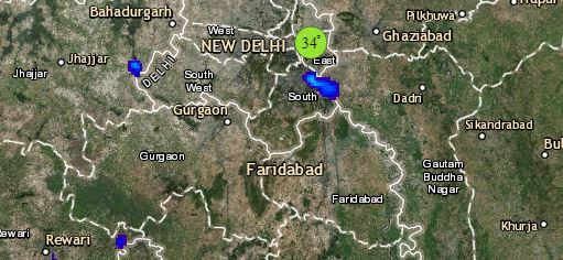
Click the image below to see the live lightning and thunderstorm across India
Good news is that air quality of Delhi would further improve due to the prevalence of northwesterly dry and cold winds. These cool winds would also be reaching Central India, which would continue with dry weather with slight drop in night temperatures over Rajasthan and North Madhya Pradesh.
In East and Northeast India, we expect scattered light to moderate rains to occur over Arunachal Pradesh, Assam and Meghalaya. Weather of rest of the region would be dry. Due to dry winds coming from northwest, weather of East India will also remain dry, with marginal fall in night temperatures.
Any information taken from here should be credited to skymetweather.com


