Down South, the system over Southeast Bay of Bengal has moved further in west northwestwards and has now become a Depression over South-central and adjoining central Bay of Bengal. A trough is running from this system. This system is likely to become more marked and due to this sea will be rough with gusty winds and widespread rains over the region including Andaman Sea.
Rain is expected to reduce over Tamil Nadu, Kerala and Coastal Karnataka. Partly cloudy sky with isolated showers are possible over extreme southern parts of Tamil Nadu and Kerala along with some areas of Andhra Pradesh.
Moving towards East and Northeast India, a Cyclonic Circulation is over Bangladesh and its adjoining areas. This system might give isolated rains over Meghalaya and its adjoining areas. Shallow fog is possible during morning hours. Whereas, in East Uttar Pradesh, Bihar, Jharkhand and West Bengal morning will be cool and hazy with sunny day.
In Central India, an Anti-Cyclone is over South Rajasthan and adjoining Kutch region. Dry weather would continue over central parts of the country. Minimum temperatures are expected to drop in Vidarbha and adjoining areas. Day temperatures might see a fall in parts of Gujarat and Maharashtra region.
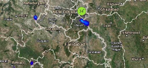
Click the image below to see the live lightning and thunderstorm across India
Up in North, a Western Disturbance as an upper air system is moving across east of Jammu and Kashmir. Another fresh Western Disturbance might affect after a gap of 24 hours over North Pakistan. Rain or snow is expected at few places of Jammu and Kashmir, North Himachal Pradesh and North Uttarakhand.
Minimum and maximum temperatures are expected to rise marginally over the northwest plains with smog or thick mist to prevail over most parts of North Rajasthan, Punjab, Haryana, Delhi-NCR and West Uttar Pradesh. Pollution level to remain on the higher end in Delhi-NCR.
Any information taken from here should be credited to skymetweather.com


