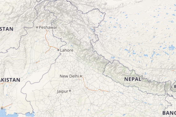
The western disturbance can be seen over Jammu and Kashmir and adjoining areas. It’s induced cyclonic circulation is over Central Pakistan and adjoining Punjab. In wake of this, light to moderate rain and thundershowers are likely over Jammu and Kashmir, Himachal Pradesh and over isolated parts of Uttarakhand.
Meanwhile, in plains, North Punjab would also see light to moderate rain and thundershowers. However, rest of the northwestern plains would witness dry weather conditions, leading to further rise in both day and night temperatures.
[yuzo_related]
Moving to East India, a cyclonic circulation has formed over Bihar and a trough is seen running from this system up to Mizoram. The trough from Bihar to North Tamil Nadu persist. With this, scattered rain will continue over entire Northeast India, West Bengal and Coastal Odisha. Isolated rains are also likely over Jharkhand. However, weather of Bihar and East Uttar Pradesh will remain dry.
Meanwhile, Central parts of the country would not see much weather activity, but isolated thundershowers or dust storm are expected over South Chhattisgarh and Vidarbha. However, not much change is expected in both the day and night temperatures and heatwave like conditions would continue over these areas including Rajasthan.
Click the image below to see the live lightning and thunderstorm across India
Down south, with the trough getting weak, weather activities are likely to reduce over South Interior Karnataka and interior Tamil Nadu. However, scattered showers would continue over Coastal Andhra Pradesh and Kerala.
Any information taken from here should be credited to skymetweather.com


