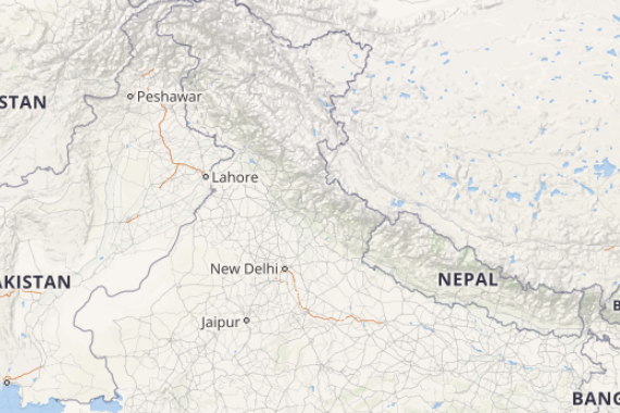
Beginning with the weather over North India a Western Disturbance lies over North Pakistan and adjoining areas. Therefore, we expect scattered light rains to occur over Jammu and Kashmir and Himachal Pradesh. Isolated light rains are also possible over Uttarakhand. Its induced cyclonic circulation is seen over North Rajasthan and Punjab and a trough is seen extending from this system to East Uttar Pradesh across plains. Thus, we expect dust storm and thunderstorm activities along with strong winds and light rains over North Rajasthan, Punjab, Haryana and West Uttar Pradesh.
[yuzo_related]
Moving to the weather in East and Northeast India a cyclonic circulation is seen over East Bihar and adjoining West Bengal. Another cyclonic circulation lies over Assam and Meghalaya. Therefore, we expect scattered rain and thundershowers over Bihar and West Bengal. Fairly widespread light to moderate rains are also likely to occur over the northeastern states.
Further in Central India a trough is seen extending from East Uttar Pradesh to Vidarbha across East Madhya Pradesh. Due to lack of moisture, the trough will not give any weather activity over the region, but isolated activities cannot be ruled out over Vidarbha, Marathwada and South Madhya Maharashtra. Temperatures over parts of Gujarat, Madhya Pradesh and Chhattisgarh are exceeding 40 degrees.
Click the image below to see the live lightning and thunderstorm across India
Lastly in South India, wind discontinuity can be seen from central parts of the country to Interior Tamil Nadu. A cyclonic circulation is also seen over Comorin region. Both the systems would give scattered rain and thundershowers over Kerala and Karnataka.
Any information taken from here should be credited to skymetweather.com


