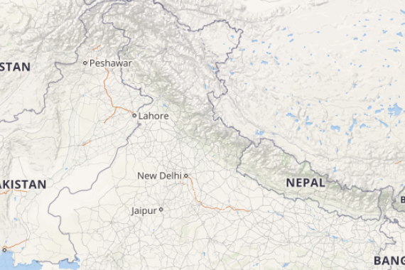
Beginning with the weather of North India a cyclonic circulation lies over Central Pakistan. A trough is extending from this system up to North Madhya Pradesh. Therefore, we expect light rains to occur over few places of Himachal Pradesh and Uttarakhand.
Dust storm and thunderstorm activities are possible at isolated places of Punjab, Haryana, Delhi and West Uttar Pradesh. Heatwave conditions will continue at few places of North Rajasthan.
[yuzo_related]
Moving towards Central India a cyclonic circulation is seen over Northeast Madhya Pradesh. A trough is also running from this system across Vidarbha. Thus, scattered rain and thundershower activities are possible over East Madhya Pradesh, Chhattisgarh, Vidarbha and Marathwada.
Another cyclonic circulation is over East central Arabian Sea off South Konkan Coast. Due to which we expect moderate rains with few heavy spells over Konkan & Goa including Mumbai and Madhya Maharashtra. Meanwhile, heatwave conditions will continue over West Madhya Pradesh and Southeast Rajasthan.
Further in East and Northeast India a trough is extending across Jharkhand and West Bengal. Humid winds from Bay of Bengal are increasing moisture over the northeastern states. Therefore, we can say good rains are possible over Nagaland, Manipur, Mizoram and Tripura. Scattered thundershowers are likely over parts of Bihar, Jharkhand and North Odisha.
Click the image below to see the live lightning and thunderstorm across India
In south India light to moderate rains will continue over many places of Kerala and Karnataka along with few places of Tamil Nadu, Andhra Pradesh and Telangana. One or two heavy spells are also possible over Andaman and Nicobar Islands.
Any information taken from here should be credited to skymetweather.com


