At present, Monsoon appears to be weak over the country, with rains restricted to regions like the West Coast, Northeastern states and few pockets of Central India.
In fact, there is no prospect of further advancement of Southwest Monsoon for at least the next 4-5 days.
Starting with South India, the trough extending from North Madhya Maharashtra up to Kerala Coast through Karnataka would give moderate to heavy showers over parts of Madhya Maharashtra, South Konkan & Goa, Coastal Karnataka and Kerala.
[yuzo_related]
Besides this, scattered light to moderate rains may take place over Interior Karnataka, while isolated showers can be expected over Andhra Pradesh and Tamil Nadu.
Now, forecasters are expecting the rain intensity to pace up over Telangana, is it an indication to take out the umbrellas from the closet.
Looking at east and northeastern region; the trough extending from East Bihar up to North Bay across Gangetic West Bengal would bring light to moderate showers over East Bihar, Jharkhand and Sub-Himalayan West Bengal.
Moreover, there are chances of isolated showers in Gangetic West Bengal and Odisha. Finally, rains!! Some relief from that scorching and clammy weather.
Northeast India, herein scattered showers will prolong its clench.
Speaking about Central region scattered showers are likely over East & South Madhya Pradesh, Vidarbha and South Chhattisgarh.
It looks like South Rajasthan and Gujarat would have to entreat the rain gods, as the tenor of hot and dry weather will persist.
Click the image below to see the live lightning and thunderstorm across India
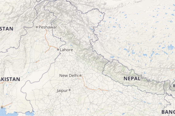
Lastly, Northern region, a cyclonic circulation can be seen over Central Pakistan. Hence, light showers are expected over Jammu and Kashmir, Himachal Pradesh and Uttarakhand.
Meanwhile in plains, dry north westerlies will keep the weather hot and dry over Punjab, Haryana, Delhi, North Rajasthan and West Uttar Pradesh.
Any information taken from here should be credited to skymetweather.com


