Heavy Mumbai rains which had brought Mumbai to halt have now reduced. However, light to moderate showers will continue during the next 24 hours.
Meanwhile, the off shore trough running from Coastal Karnataka to Kerala would give moderate rains with one or two heavy spells over South Konkan & Goa, Coastal Karnataka and Kerala.
Few good spells are also expected over Telangana and Coastal Andhra Pradesh with subdued activity over Tamil Nadu and Rayalaseema.
[yuzo_related]
Moving onto central parts, in view of two cyclonic circulations, one over South Gujarat and the other over Northeast Madhya Pradesh; light to moderate showers with isolated heavy spells may occur over South Gujarat and Saurashtra.
In fact; heavy to very heavy falls are expected over southern and western districts of Madhya Pradesh, which may also trigger flooding over some parts.
Likewise, Southeast Rajasthan, Chhattisgarh and Vidarbha are likely to witness moderate spells.
Talking about East & Northeast, light to moderate showers are possible over Jharkhand, Sub-Himalayan West Bengal, Sikkim, northeastern states and parts of Odisha.
Besides this, there are possibilities of light rains over East Uttar Pradesh, Bihar and Gangetic West Bengal.
Click the image below to see the live lightning and thunderstorm across India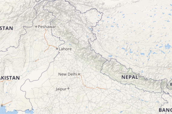
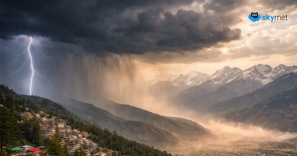
Finally up North, the axis of Monsoon trough is expected to shift towards the north; therefore good rains are in store for Jammu & Kashmir, Himachal Pradesh and Uttarakhand; while light to moderate showers are expected over some parts of Punjab, Haryana, Delhi, West Uttar Pradesh and North Rajasthan.
Any information taken from here should be credited to skymetweather.com


