Up in North, a Western Disturbance is seen over North Pakistan and adjoining Jammu and Kashmir. Its induced cyclonic circulation is seen over Central Pakistan and adjoining North Rajasthan.
Due to these weather systems, light rains are possible over Jammu and Kashmir, Himachal Pradesh and North Punjab. Whereas, dry and warm weather conditions are likely to continue over Delhi, Punjab, Haryana, West Madhya Pradesh.
Coming to East and Northeast India, a cyclonic circulation area is seen persisting over eastern parts of Uttar Pradesh and Bihar. A trough is also seen extending from Punjab up to Assam across Center of cyclonic circulation.
[yuzo_related]
Due to this, very heavy rains are possible at some places over Sikkim, Sub-Himalayan West Bengal, Bihar, East Uttar Pradesh and other northeastern states. With this system, a trough is seen extending from center of low pressure up to North Coastal Andhra Pradesh.
With this, light to moderate rains may continue to occur over Chhattisgarh, South Jharkhand, Odisha, East Madhya Pradesh, North Coastal Andhra Pradesh and Gangetic West Bengal.
Live status of Lightning and thunder
Coming to Central India, a trough is seen extending from Rajasthan up to northeastern parts of Arabian Sea. With this, light to moderate rains are expected at many places over Gujarat.
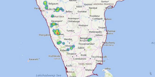
Down South, an offshore trough is seen extending from Maharashtra Coast up to Kerala Coast. With this, light rains are possible at some places over Tamil Nadu, Karnataka and Kerala. Meanwhile, light to moderate rains may continue to occur along the west coast during the next 24 to 48 hours.
Please Note: Any information picked from here should be attributed to skymetweather.com


