The Western Disturbance over Jammu and Kashmir will now move away eastwards, due to which the ongoing rain and snow will continue with a reduced note over Jammu and Kashmir, Himachal Pradesh and Uttarakhand. Meanwhile, due to increased moisture, moderate to dense fog is possible over North Punjab and foothills of West Uttar Pradesh. Minimums may drop marginally over parts of Punjab, Northwest Rajasthan and West Haryana.
Moving to Central India, cold wave conditions will continue over parts of Madhya Pradesh, Vidarbha and Marathwada. Weather will remain dry, but minimums over West Rajasthan and Gujarat may drop further. Day will remain warm and sunny over most parts of Central India.
In South India, dry weather will continue over entire South Peninsula. However, Cold Wave conditions will persist over many parts of Telangana. In fact, minimums over the state will remain below normal. We expect light to moderate rain to continue over Andaman and Nicobar Islands.
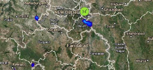
Click the image below to see the live lightning and thunderstorm across India
Lastly in East/Northeast India, a cyclonic circulation lies over Assam. Thus, scattered light rain with isolated snow is expected over upper reaches of Arunachal Pradesh. Weather of rest of Northeast India will be dry. In East India, minimum temperatures will be marginally below normal. Cold wave will continue over Odisha along with few places of Bihar and Jharkhand.
Any information taken from here should be credited to skymetweather.com


