Beginning with North India, a Western Disturbance lies over North Pakistan and adjoining areas. Its associated induced cyclonic circulation is marked over Central Pakistan and adjoining Northwest Rajasthan. As both the systems would be moving east northeastwards, hence, clouding will increase over Northwest India. Day and night temperatures over the hills and the plains will increase significantly for the next 24 hours. These systems will give rain over the region around January 23.
[yuzo_related]
Talking about East and Northeast India, due to presence of cyclonic circulation over East Bangladesh and South Assam, moderate to dense fog will persist in some parts of Northeast India. An upper air trough persists along the foothills of Himalayas over North Uttar Pradesh, Bihar and Sub Himalayan West Bengal. Hence, dense to very dense fog will persist over these areas.
Moving on to Central India, due to shift of anti-cyclone at lower levels, warm and moist winds will affect the central parts. Hence, rise in temperatures is possible over Vidarbha, Chhattisgarh, and Madhya Pradesh. Gujarat will remain warm and dry.
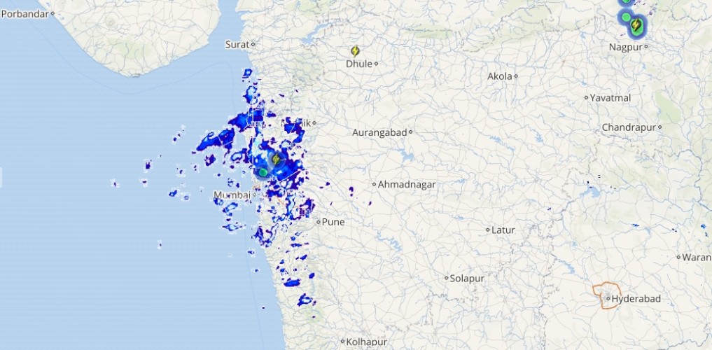
Live status of Lightning and thunder

Down South, a cyclonic circulation is over Southeast Bay of Bengal off South Andaman Sea. Due to this system, moderate to heavy rains with isolated heavy showers are expected over South Andaman and Nicobar Islands. As dry winds are prevailing over Southern Peninsula, rest of South India will remain dry.
Talking about major cities of India, Mumbai and Chennai will remain warm. Meanwhile, Bengaluru and Kolkata will remain comfortable. Delhi will observe a comfortable day and cold night.
Please Note: Any information picked from here should be attributed to skymetweather.com


