Talking about the weather conditions across North India, a feeble Western Disturbance is persisting over North Jammu and Kashmir. As the system is weak hence, dry weather will prevail over Jammu and Kashmir, Himachal Pradesh, Uttarakhand and northwestern plains. However, light rains cannot be ruled over the higher reaches of Jammu and Kashmir.
[yuzo_related]
A cyclonic circulation is also marked over West Madhya Pradesh and adjoining Rajasthan. In wake of this system, moderate to dense fog would be observed over Punjab, Haryana, Delhi and West Uttar Pradesh and the maximum temperatures might also fall marginally across these states.
Moving to East and Northeast India, a cyclonic circulation is over East Uttar Pradesh and Bihar. It is anticipated that the weather would remain dry over East India but dense to very dense fog would occur over East Uttar Pradesh, Bihar, northern parts of West Bengal and parts of Assam, Meghalaya and Tripura. Meanwhile, moderate fog would be witnessed over remaining parts of Northeast India.
In Central India, weather would continue to remain dry. It is expected that the day and night temperatures might fall marginally across Gujarat, Rajasthan and West Madhya Pradesh.
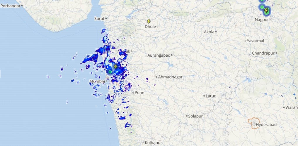
Live status of Lightning and thunder

Down South a cyclonic circulation is marked over southeast Bay of Bengal and another is persisting over southwest Bay of Bengal. In wake of this weather system light to moderate rain would occur over Andaman and Nicobar Islands.
Remaining parts of South India would remain dry but sky conditions may also become partly cloudy in Coastal Tamil Nadu and Coastal Andhra Pradesh.
Please Note: Any information picked from here should be attributed to skymetweather.com


