The current Western Disturbance has moved away eastwards and a fresh feeble Western Disturbance is expected to approach the Western Himalayas by the evening of February 6. Thus, the weather of most parts of hills as well as northern plains will be dry. Meanwhile, northwesterly cold winds may drop the minimums of Punjab, Haryana, Delhi, North Rajasthan and West Uttar Pradesh by 1-2 degrees.
In Central India, a Cyclonic Circulation is over Vidarbha. A Trough is extending from Jharkhand up to Telangana across Chhattisgarh and Vidarbha. Light to moderate rain is likely in East Madhya Pradesh, parts of Chhattisgarh and in a few parts of Vidarbha. Minimums may remain above normal in these places. However, the day temperatures may fall by 2-3 degrees. Meanwhile, cold northerly winds may continue in Rajasthan, West Uttar Pradesh, Gujarat and North Konkan and Goa as well as North Madhya Maharashtra leading to a further fall in the temperatures.Mumbai, Nashik, Pune may also experience cold morningand night.
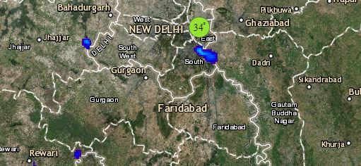
Click the image below to see the live lightning and thunderstorm across India
Talking about East India, an Anti-Cyclone is over the central parts of the Bay of Bengal. It is increasing moisture in Odisha, Jharkhand and Gangetic West Bengal. Kolkata may witness isolated light rain or thundery activity. Meanwhile, Odisha and South Jharkhand may get moderate showers. While,Gangetic West Bengal, rest Jharkhand and South Bihar will experience light showers. In the meantime, rainfall activities are likely to increase in Arunachal Pradesh and Assam. Isolated snowfall is also possible in Arunachal Pradesh.
Down South, humid winds from the Bay of Bengal are feeding moisture in Coastal Andhra Pradesh and Tamil Nadu. Isolated rainfall activity is likely in North Coastal Andhra Pradesh, parts of Tamil Nadu and South Kerala. On the other hand, the weather of Rayalaseema, Telangana and Karnataka may remain dry.
Any information taken from here should be credited to skymetweather.com
