A fresh Western Disturbance is over North Pakistan and adjoining Jammu and Kashmir. Due to this system, scattered rain and snow may commence in Jammu and Kashmir, Ladakh and Himachal Pradesh by the afternoon of February 4. Uttarakhand may also witness isolated rain and snow. On the other hand, the weather of Punjab, Haryana, Delhi, West Uttar Pradesh and North Rajasthan may remain dry. However, there may be a marginal increase in minimums, but Cold wave conditions may persist in one or two pockets of Punjab and Haryana along with dense fog in Punjab, Haryana and Northwest Uttar Pradesh.
Moving towards the central parts of country, a Confluence Zone is seen over Vidarbha and Chhattisgarh. Therefore, isolated light rain is likely in Vidarbha and East Madhya Pradesh. Scattered showers are likely in Chhattisgarh. On the other hand, the weather of Gujarat, Rajasthan, West Madhya Pradesh and remaining Maharashtra will be dry. Meanwhile, the minimums of West Rajasthan and parts of Gujarat may remain below normal. Mumbai would experience dry weather with a rise in day and night temperatures.
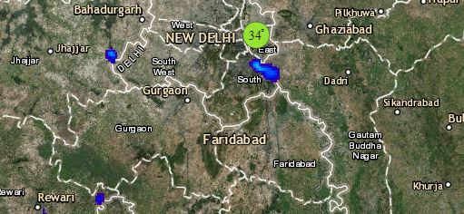
Click the image below to see the live lightning and thunderstorm across India
In East India, an Anti-Cyclone is over West Central Bay of Bengal. The humid winds from the Bay of Bengal are increasing the moisture in Odisha, South Jharkhand and Gangetic West Bengal. Therefore, we expect light rain in these places. Kolkata may see partly cloudy to cloudy sky. The weather of East Uttar Pradesh and Bihar, however, may remain dry only. Meanwhile, due to a Cyclonic Circulation over Assam and adjoining area, isolated rain may occur in East Assam with chances of snow in Arunachal Pradesh.
Down South, the weather of Telangana, Karnataka and Rayalaseema may remain dry only. Isolated light rain is likely in North Coastal Andhra Pradesh and in South Tamil Nadu and Kerala.
Any information taken from here should be credited to skymetweather.com


