Beginning with East and Northeast India, where a Cyclonic Circulation is over East Uttar Pradesh. We expect rains to now decrease but continue over East Uttar Pradesh, Bihar and Jharkhand. Rains will cover parts of East Bihar, East Jharkhand, Gangetic West Bengal and Odisha by the late night of February 23. Meanwhile, rain and snowfall is likely over Sikkim and Arunachal Pradesh. Light rains will be seen over Assam.
Coming on to Central India, where the Confluence Zone is over East Madhya Pradesh. Therefore, Northeast Madhya Pradesh and North Chhattisgarh may receive scattered rains. Humid winds from Arabian Sea and Bay of Bengal will increase the minimum temperatures further over Vidarbha, Marathwada and South Chhattisgarh. Meanwhile, minimums of West Rajasthan and Gujarat may fall marginally.
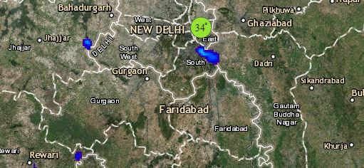
Click the image below to see the live lightning and thunderstorm across India
Talking about South India where a feeble Trough is seen over Southern parts of Tamil Nadu. Therefore, South Tamil Nadu may get light to moderate rains whereas interior and north-coastal parts may get isolated light rainfall activity. Chennai may also get light rains. Remaining parts of South India including Karnataka, Kerala and Telangana will remain dry.
Lastly in North India, from where the Western Disturbance has now moved away. The weather of Jammu and Kashmir, Himachal Pradesh and Ladakh will remain clear. However, remnants of Western Disturbance may give isolated light rains over Uttarakhand and parts of West and Central Uttar Pradesh. Meanwhile, minimum temperatures of Punjab, Haryana and North Rajasthan as well as Delhi may drop by two to three degrees.
Any information taken from here should be credited to skymetweather.com


