Beginning with North India, a Western Disturbance is over Jammu and Kashmir. Its induced Cyclonic Circulation is over North Pakistan and adjoining areas. So, we expect light to moderate rain and snow to continue over Jammu and Kashmir. A few places might even receive intense spells. One or two places in Himachal Pradesh and Ladakh might also receive these rains. On the other hand, weather of Uttarakhand, Punjab, Haryana, and Rajasthan will remain dry. Day and night temperatures may increase further over here.
Coming on to Central India, where an anti-Cyclone is over West Madhya Pradesh. Therefore, we expect dry weather to continue over entire Central India including Madhya Pradesh, Maharashtra and Chhattisgarh. Day and night temperatures of Gujarat and Maharashtra are expected to increase further and might even reach mid-30 in some places.
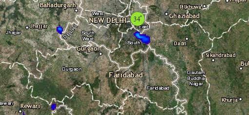
Click the image below to see the live lightning and thunderstorm across India
Talking about East India, where minimum and maximum temperatures of Bihar, Jharkhand, Odisha and some parts of West Bengal will remain below normal. Despite of a marginal rise, during the next 24 hours, the minimums will be below normal by three to five degrees. Maximums however will remain below normal by two to three degrees. Also, a Cyclonic Circulation is over East Assam, which may give isolated light rains over East Assam and Arunachal Pradesh.
Lastly in South India, moderate easterly winds are blowing over coastal Tamil Nadu, which may give isolated light rains over coastal Tamil Nadu. Weather of Andhra Pradesh, Telangana, Kerala and Karnataka will remain dry.
Any information taken from here should be credited to skymetweather.com


