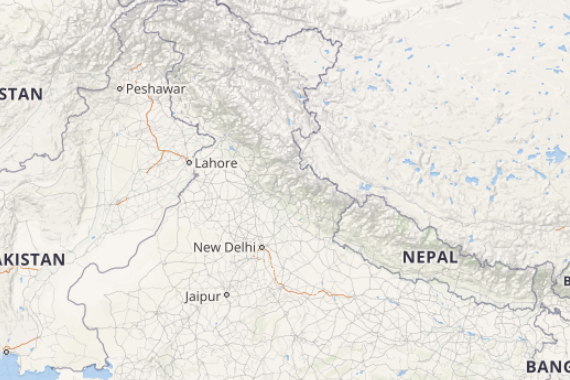
Beginning with North India, a Western Disturbance is seen over Northwest Jammu and Kashmir and its adjoining areas. Thus, moderate to heavy rain and snow is expected over Jammu and Kashmir and Himachal Pradesh. Meanwhile, light rain and snow may also occur over Uttarakhand. Thus, popular hilly locales of Shimla, Srinagar, Shimla, Manali, Auli, Pahalgam and Gulmarg may also receive snow.
[yuzo_related]
Its induced cyclonic circulation can be seen over Punjab and adjoining Haryana. Thus, moderate rains are expected over Punjab. Light to moderate rain is also likely over Delhi, Haryana, West Uttar Pradesh and Rajasthan. Thus, a significant fall in day temperatures is expected. Thus, cities of Chandigarh, Lucknow, Ambala, Jaipur and Agra will witness rainfall activity.
Moving to Central India, a confluence zone is presently across Marathwada, Vidarbha, East Madhya Pradesh, North Chhattisgarh and Jharkhand. Thus, light to moderate rain along with hailstorm activity is likely over East Madhya Pradesh and Chhattisgarh. Vidarbha is also expected to witness light to moderate showers.
Talking about East and Northeast India, due to the confluence zone, South Uttar Pradesh, South Bihar and Jharkhand are likely to witness rain and hailstorm. The seasonal cyclonic circulation can be seen over East Bangladesh and adjoining areas. However, the system will not give any rains over the region.
Click the image below to see the live lightning and thunderstorm across India
Down South, a trough is seen running from Lakshadweep to Coastal Karnataka. Thus, light rains are likely over South Coastal Tamil Nadu, Kerala, and Coastal Karnataka. Meanwhile, both Chennai and Bengaluru will remain dry.
Any information taken from here should be credited to skymetweather.com
