A fresh Western Disturbance has approached Jammu and Kashmir. Rain and snow may commence in Jammu and Kashmir, Ladakh and Himachal Pradesh by the night of February 11. On the other hand, the weather of Punjab, Haryana, Delhi, West Uttar Pradesh, North Rajasthan and Uttarakhand will be dry. Minimums may increase marginally in the northern plains.
East India will experience dry weather conditions. However, isolated light rain is likely in Assam and Arunachal Pradesh. Meanwhile, day and night temperatures of East Uttar Pradesh, Bihar, Jharkhand and West Bengal will increase marginally.
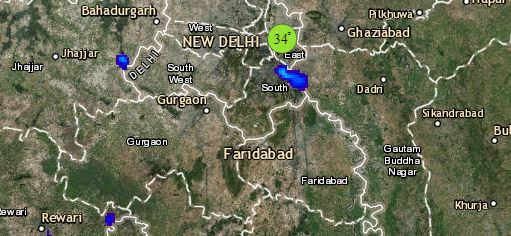
Click the image below to see the live lightning and thunderstorm across India
There is no significant weather system in the central parts of the country. Thus, the weather of Madhya Pradesh, Chhattisgarh, Gujarat, South Rajasthan and Maharashtra may remain dry. However, isolated thundery activity is likely in parts of Marathwada. The day and night temperatures of Maharashtra, Gujarat and West Madhya Pradesh are expected to increase further due to southeasterly warm winds. Mumbai may experience warm and sunny weather.
Down South, a Cyclonic Circulation is over East Central Arabian Sea off Karnataka Coast. Humid winds from the Bay of Bengal are increasing the moisture in Andhra Pradesh and Tamil Nadu. Therefore, we expect scattered rain in Andhra Pradesh. Isolated showers are likely in Telangana, Tamil Nadu and Interior Karnataka. The minimums of Tamil Nadu and Andhra Pradesh may increase marginally. Hyderabad, Chennai and Bengaluru may witness partly cloudy sky.
Any information taken from here should be credited to skymetweather.com
