In North India, a fresh Western Disturbance can be seen over Western Himalayas, thus light rain at few places over Jammu and Kashmir can be experienced. Weather of Himachal Pradesh and Uttarakhand may become partly cloudy sans any weather activity.
In fact, plains including Delhi NCR would remain unaffected and continue with dry weather conditions. However, moderate to dense fog is possible over parts of Himachal Pradesh, Punjab, Haryana and West Uttar Pradesh.
Moving to Central India, an Anti-Cyclone is marked over Chhattisgarh and a trough is extending from Madhya Maharashtra to Karnataka. We expect light rains over one or two places over Vidarbha and Marathwada. But weather of Chhattisgarh, Madhya Pradesh, South Rajasthan and Gujarat will remain dry.
Down in South, rains have reduced significantly over South Peninsula but light rain can be witnessed at few places of South Tamil Nadu, Kerala and over one or two places of Karnataka. With a fresh system brewing in Bay of Bengal, Andaman and Nicobar Islands might receive moderate rains at few places.
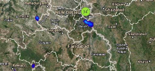
Click the image below to see the live lightning and thunderstorm across India
Heading towards east and Northeast India, a Cyclonic Circulation is over Meghalaya and adjoining areas. But we do not expect any significant weather activity over the northeastern states as well as eastern ones.
On the other hand, further drop in day and night temperatures is likely over East Uttar Pradesh, Bihar and Jharkhand and West Bengal.
Any information taken from here should be credited to skymetweather.com


