To begin with South India, a trough is seen running along the coast of Tamil Nadu. In fact, now the easterly waves have also become active. Therefore, we expect light to moderate rains with one or two heavy spells over South coastal Andhra Pradesh and Coastal Tamil Nadu.
Chennai may also receive moderate rains. Scattered light rains with one or two moderate spells might occur over interior parts of Tamil Nadu, South Interior Karnataka and Rayalaseema. Isolated rains are possible over Kerala whereas dry weather will continue in Telangana.
In Central India, an Anti-Cyclone is seen over Vidarbha and it’s adjoining areas. Thus, weather of Rajasthan, Gujarat, Maharashtra, Madhya Pradesh, Chhattisgarh will remain dry. There will be a marginal drop in minimums over Rajasthan, Gujarat and North Madhya Pradesh.
Up in North, there is no weather system over the hills, thus no major weather activity will be witnessed over the northwestern parts of the country. Dry north-westerly winds will blow over Punjab, Haryana and Uttar Pradesh. Whereas, south-westerlies will blow over Rajasthan.
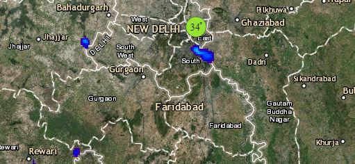
Click the image below to see the live lightning and thunderstorm across India
Minimums of North Rajasthan, Punjab, Haryana, Delhi and West Uttar Pradesh may drop marginally. As per the experts, Delhi pollution may improve around December 5 due to dry north westerly winds.
Moving towards East and North-east India, a north south trough is extending from northeastern states to North Bay of Bengal. Thus, we expect isolated light rain to occur over Assam and Meghalaya. Rest of East and Northeast India will witness dry weather conditions.
Due to north-westerly winds, minimum temperatures of Bihar and Jharkhand may drop marginally.
Any information taken from here should be credited to skymetweather.com


