To begin with South India, a cyclonic circulation lies over West central Bay of Bengal and adjoining Sri Lanka Coast. A trough is running from this system to South coastal Andhra Pradesh. Therefore, light to moderate rains with few heavy spells are expected over Tamil Nadu Coast and South coastal Andhra Pradesh. Meanwhile, interior parts Tamil Nadu will receive light rains.
In fact due to another cyclonic circulation over Southeast Bay of Bengal off South Andaman Island, South Nicobar will receive moderate rains. Rest all states of South India will remain dry.
Moving to Central India, an anti-cyclone is seen over Vidarbha and adjoining Chhattisgarh. Due to prevalence of dry northwesterly winds, dry weather conditions will continue over entire central parts of the country. During the morning hours, mist and haze will reduce the visibility.
In North India, a feeble Western Disturbance is moving across extreme northern parts of Jammu and Kashmir, which will be increasing the clouds over Jammu and Kashmir and Himachal Pradesh. Isolated places over the higher reaches may also receive rain and snow. Due to light northwesterly winds, dry weather will continue over Punjab, Haryana, Delhi and Rajasthan. Night temperatures will decrease slightly over these areas. Pollution levels in Delhi-NCR will remain very poor.
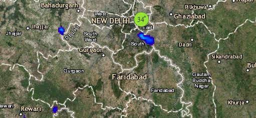
Click the image below to see the live lightning and thunderstorm across India
Lastly in east/northeast India, in absence of any significant weather system and prevalence of dry winds, shallow to moderate fog will prevail over scattered places of East and Northeast India. However, the higher reaches of Arunachal Pradesh and Sikkim will observe light rainfall, as a feeble Western Disturbance is moving across the higher latitude.
Any information taken from here should be credited to skymetweather.com


