The very severe cyclonic storm Ockhi over Southeast Arabian Sea continue to move in northwest direction. The system will weaken and then recurve in north-northeast direction towards Gujarat Coast. As the system is away from the Indian Coast, so no major activity is likely over the southern states of the country.
The well-marked low pressure area over South Andaman Sea has moved west northwestwards and is seen over Southeast Bay of Bengal. This system is likely to intensify into a depression during the next 24 hours and move in westerly direction.
[yuzo_related]
With this, heavy to very heavy rain is likely with squally winds over Andaman and Nicobar Islands. Scattered light to moderate rains are also possible over southern parts of Kerala and Tamil Nadu. Meanwhile, rest of Kerala, Tamil Nadu and adjoining Coastal Karnataka will settle with mainly light rains. Light rain is also possible over Chennai and Bengaluru.
Coming to Central region, partly cloudy to cloudy sky will persist in some parts, dry weather will continue over the region. Morning temperatures may drop marginally over East Madhya Pradesh and adjoining Chhattisgarh.
Talking about the weather in East and Northeast, no significant change in weather conditions is anticipated over the regions, mainly dry weather will prevail over most parts of east and northeastern states. Mist and haze is also likely over North Bihar, Nagaland, Manipur, Mizoram and Tripura.
Live status of Lightning and thunder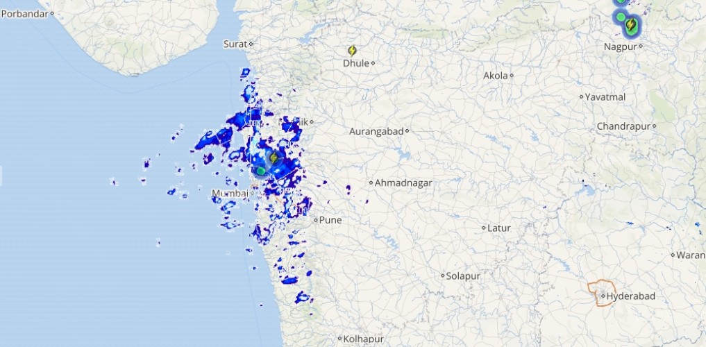
Up in North, partly cloudy sky will be seen over the higher reaches of Jammu and Kashmir, Himachal Pradesh and Uttarakhand, while mainly clear sky will prevail over most parts of northwestern plains. Moderate fog may occur in parts of Punjab, North Haryana and Northwest Uttar Pradesh.
Pollution levels of Delhi-NCR will remain on the higher side and is expected to worsen further.
Please Note: Any information picked from here should be attributed to skymetweather.com