Due to rapid weakening and movement, Phethai now lies as a cyclonic circulation over parts of Bangladesh and adjoining Northeast India. As this system has weakened, we do not expect any major weather activities. Therefore, only cloudy sky accompanied with light rains are expected over the northeastern states. In East India, dry weather will prevail with moderate fog over parts of Bihar, Jharkhand and West Bengal.
Moving to North India, due to absence of any weather system, we do not expect any weather activity over the hills and plains of North India. However, due to below normal minimums, we expect cold wave conditions to occur over parts of Rajasthan, Punjab, Haryana, Delhi and West Uttar Pradesh. Moreover, shallow fog is also expected in few pockets of Northwest India.
Dry weather conditions will also prevail over most parts of Central India. The minimums over most of these places will remain below normal. In fact, parts of West Madhya Pradesh may even record single-digit night temperatures.
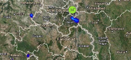
Click the image below to see the live lightning and thunderstorm across India
Lastly in South India, a cyclonic circulation lies over Southwest Bay of Bengal off Sri Lanka Coast and a trough is extending from this system across Coast Tamil Nadu. Another feeble trough lies off Kerala Coast. In wake of these systems, widespread rains are likely over Andaman and Nicobar Islands along with isolated light rains over Tamil Nadu and Kerala. However, in the subsequent 48 hours, rains are likely to increase over Tamil Nadu.
Any information taken from here should be credited to skymetweather.com


