To begin with South India, a cyclonic circulation lies over Southeast Bay of Bengal and adjoining parts of Equatorial Indian Ocean. Under the in fluence of this system, a low-pressure area has also formed. Therefore, moderate rains with few heavy spells will occur over Andaman and Nicobar Islands.
In fact, a trough is extending from North Interior Karnataka up to central parts of the country. Thus, light rain may occur over isolated pockets of Telangana, Andhra Pradesh and North Interior Karnataka.
Moving to Central India, a cyclonic circulation lies over East Madhya Pradesh and adjoining Chhattisgarh in the lower levels. Hence, warm and moist winds are affecting over most parts of Central India. Due to these winds and the cyclonic circulation, light rain is possible over few places of Chhattisgarh, Vidarbha and Southeast Madhya Pradesh.
In North India, a Western Disturbance lies over North Pakistan and its induced cyclonic circulation is over East central Pakistan and adjoining Northwest Rajasthan. Due to these systems, rain and snow may occur over many places of Jammu and Kashmir with few places of Himachal and Punjab. Patchy rain is also possible over isolated pockets of Haryana. Delhi will remain dry. Moreover, due to cyclonic circulation over Southeast Pakistan, Kutch region in Gujarat may receive light rain.
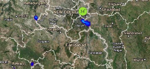
Click the image below to see the live lightning and thunderstorm across India
Lastly in east/northeast India, due to the cyclonic circulation over Chhattisgarh and its adjoining areas, light rain may occur over Jharkhand and Odisha. Rest all places of east and northeast India will experience dry weather conditions. Shallow to moderate fog is likely over few places of Bihar, West Bengal and northeastern states.
Any information taken from here should be credited to skymetweather.com


