Beginning with north, Western Disturbance moving away from East Jammu and Kashmir. A fresh western disturbance can be seen over north Pakistan and adjoining Afghanistan. Along with this, a cyclonic circulation is marked over Central Pakistan and adjoining parts of Rajasthan.
The axis of Monsoon trough runs from South Punjab, Haryana, Uttar Pradesh, Jharkhand, West Bengal and then towards Bay of Bengal. The rains are likely to intensify over Uttarakhand and Northwest plains including Delhi. Whereas light scattered rains are possible over Jammu and Kashmir.
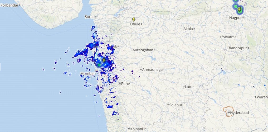
Coming to central region, light to moderate rains are also likely over Madhya Pradesh. While rains will reduce over Gujarat and Maharashtra, however scattered light rain cannot be ruled over Coastal Gujarat and Vidarbha.
Moving to east & northeast side, a cyclonic circulation is marked over North Bay of Bengal. Therefore, rains will pace up over Odisha and Chhattisgarh. Dry weather conditions will persist over East Uttar Pradesh and North Bihar.
Meanwhile, scattered light rains with isolated moderate spells are expected over Gangetic West Bengal and Jharkhand. Northeastern states, in particular Assam, Meghalaya and Arunachal Pradesh may record scattered rains, while rest parts will witness moderate rains with isolated heavy spells.
[yuzo_related]
An off shore trough is seen extending from Coastal Gujarat to North Coastal Kerala. Thus, coastal parts of Karnataka and Kerala will receive light to moderate rains, while scattered light rain is likely over Konkan and Goa, Andhra Pradesh, Telangana, Coastal Tamil Nadu, Interior Kerala and South Interior Karnataka.
Live status of Lightning and thunder

Talking about the weather over major cities of India, Delhi will remain almost dry but patchy rains cannot be ruled out. Whereas, light showers will occur over Hyderabad, Bengaluru, Mumbai and Kolkata.
Chennai, on the other hand, will record light to moderate spells.
Please Note: Any information picked from here should be attributed to skymetweather.com


