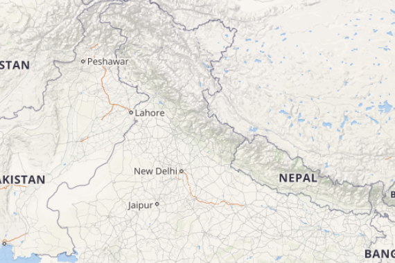
A Western Disturbance is seen over Jammu and Kashmir. Therefore, we expect light to moderate rain and thundershower activities to continue over Jammu and Kashmir and Himachal Pradesh. Meanwhile, scattered rains will be observed over Uttarakhand and Punjab. Isolated thunderstorm and dust storm activities are also possible over North Rajasthan, Haryana and norther parts of west Uttar Pradesh.
[yuzo_related]
A trough is seen extending via Chhattisgarh, Vidarbha and Telangana. Therefore, we expect thunderstorm or thundershower activities at few places over Maharashtra and South Chhattisgarh. Weather of Madhya Pradesh, South Rajasthan and Gujarat will remain dry and very warm.
A cyclonic circulation is seen over east Bangladesh and adjoining areas. A trough also extends from Bihar to Manipur. therefore, we expect rains to increase once again over the northeastern states. Scattered thundershowers are expected over Sub-Himalayan West Bengal and Sikkim. Weather of East Uttar Pradesh, Bihar, Jharkhand and Odisha will remain dry.
Click the image below to see the live lightning and thunderstorm across India
A trough is extending from East India to Interior Tamil Nadu across Karnataka. Due to this scattered light to moderate rain and thundershowers will continue over Kerala and Interior Tamil Nadu. Isolated rains are possible over Karnataka. Thunderstorm may also occur over Telangana and Coastal Andhra Pradesh.
Talking about the weather across major cities of India – Delhi will witness a warm and sunny day. However, steep rise in maximum temperatures is possible over Mumbai. Kolkata will observe a warm and humid day. A very warm day will prevail over Hyderabad along with chances of thunderstorm.
Any information taken from here should be credited to skymetweather.com
