
After ample rain and thunderstorm activity in North India the axis of weather has now shifted towards East India. At present, a trough is seen extending from Bihar to Telangana and therefore we expect rain and thundershower in Bihar, Jharkhand, Odisha and West Bengal. Hailstorm activities are also possible at a few places.
Rains will now commence over the northeastern states as well. Assam, Meghalaya and Nagaland will experience light to moderate rain and thundershower. While rain and snow is likely over Arunachal Pradesh.
Coming to North India- Clear skies will lead to rising day temperatures over Northwest plains. But the minimums will continue to drop over Punjab, Haryana, Delhi, West Uttar Pradesh and Rajasthan. Cold Wave conditions might also make a comeback over parts of Haryana and Rajasthan.
On Saturday, the pollution levels in Delhi will remain at a moderate category and we do not expect fog in Northwest Plains as of now.
Click the image below to see the live lightning and thunderstorm across India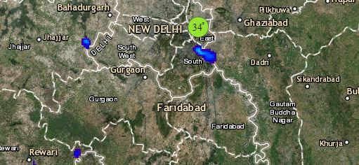
Talking about Central parts of India, dry and cold winds from North will continue to blow over most parts of Central India. Minimum temperatures may drop over South Rajasthan, Gujarat and Madhya Pradesh as well as over Madhya Maharashtra and Konkan and Goa. Some rain and thundershower activity could be a possibility in Chhattisgarh and Vidarbha.
Down in South India, a confluence Zone can be seen from Rayalaseema upto Kerala therefore, rain and thunderstorms are likely in Rayalaseema, Tamil Nadu, Karnataka and parts of Kerala.
Any information taken from here should be credited to skymetweather.com
