The Western Disturbance now lies over East Jammu and Kashmir. In fact, northwesterly cold winds have already commenced over the region, leading to a drop-in minimum temperature over most parts of North India. We expect further drop in night temperatures, but due to clear skies and bright sunshine, maximums may witness marginal increase.
Moving to East/Northeast India, a trough is seen running from North Bihar to Assam across West Bengal. A cyclonic circulation lies over Assam. Another trough from this circulation is extending up to South India. Therefore, we expect light to moderate rain and thundershowers with few heavy spells over most parts of Gangetic West Bengal, North Odisha and Northeast India. Scattered rains may also occur in East Bihar and Jharkhand.
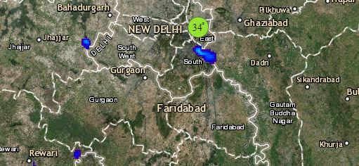
Click the image below to see the live lightning and thunderstorm across India
In Central India, dry and cool winds are blowing over the entire region. Thus, minimums of Rajasthan, Gujarat, Madhya Pradesh and Maharashtra may drop. Weather of East Madhya Pradesh and Chhattisgarh will remain partly cloudy without any chances of rain.
Lastly in South India, the trough extending from eastern parts till Andhra Pradesh will be responsible for giving scattered light rains over Andhra Pradesh. Weather of Telangana and Karnataka will remain dry. However, light rains may occur over Tamil Nadu and Kerala.
Any information taken from here should be credited to skymetweather.com


