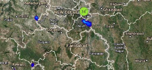
Up in North, a Western Disturbance is over Jammu and Kashmir. Its induced Cyclonic Circulation is over Central Pakistan and adjoining West Rajasthan. A trough from this system is extending up till Northeast Rajasthan. Due to all these systems, light to moderate rain and snow may occur over Jammu and Kashmir, Himachal Pradesh and Uttarakhand. Rain with isolated hailstorm may also occur over parts of Punjab, Haryana and Northwest Uttar Pradesh. Isolated light rains are also possible in Delhi and NCR as well as over West and North Rajasthan. Meanwhile, minimums will remain above normal over most parts of northern plains.
In Central India, an Anti Cyclone is present over South Chhattisgarh. Moreover, warm southeasterly and southwesterly winds are expected over Maharashtra, Gujarat, South Rajasthan and West Madhya Pradesh, thereby leading to an increase in minimums of these places. However, weather will remain dry and warm.
In East and Northeast India, there is no significant weather system. Thus, weather of East Uttar Pradesh, Bihar, Jharkhand and West Bengal will remain dry. However, due to the presence of a feeble Confluence zone over coastal Odisha, isolated light rain may occur in Odisha. On the other hand, scattered light to moderate rain will continue over Assam, Meghalaya and Arunachal Pradesh while isolated showers over Nagaland.
Click the image below to see the live lightning and thunderstorm across India
Down in South, a confluence zone is present in the lower levels from Coastal Andhra Pradesh till Tamil Nadu. This system might result in isolated light rains over Coastal Andhra Pradesh and parts of Tamil Nadu. Weather of rest of the regions will remain dry.
Any information taken from here should be credited to skymetweather.com


