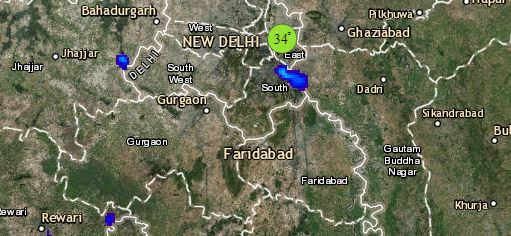
An active Western Disturbance has formed over Jammu and Kashmir. Its induced Cyclonic Circulation is persisting over North Rajasthan and adjoining Punjab and Haryana. Also, a trough from this system is extending up to Madhya Pradesh. These systems will bring along moderate to heavy rain and snow at many places over Jammu and Kashmir and Himachal Pradesh. Also, scattered rains are likely over Uttarakhand, Punjab, Haryana, Delhi, Uttar Pradesh and East Rajasthan. Hailstorm is also expected at many places in these states.
Coming to Central India, we expect, light to moderate rain and thundershower over Northern parts of Madhya Pradesh and Chhattisgarh. Isolated rains are likely over the remaining parts the states. The weather in Gujarat and Maharashtra will remain dry.
Talking about East India, the weather of Bihar, Jharkhand, West Bengal and Odisha will remain dry. Minimums will increase over East India by 2 to 3 degrees Celsius. A Cyclonic Circulation is persisting over eastern parts of Bangladesh, but due to lack of moisture feed weather activity will be minimal.
Click the image below to see the live lightning and thunderstorm across India
Down South, a feeble Confluence Zone is seen over South Tamil Nadu, due to which isolated light rain is possible over the region. Weather over the remaining southern states will be dry and warm.
Any information taken from here should be credited to skymetweather.com


