Starting from North India, a Western Disturbance can be seen in parts of North Pakistan and adjoining India. This will bring along light snowfall activities at some parts over Jammu and Kashmir and adjoining Himachal Pradesh. Apart from this, cloudy days are expected over Rajasthan, Punjab and Haryana.
Over East India, dry weather will prevail over most parts. A few regions of Bihar and West Bengal might also receive light rains. Morning temperatures will drop significantly over most Eastern states with moderate fog being observed during the morning.
The Cyclonic Circulation has now moved further eastwards. Now rain and thundershower activity will reduce over most parts of Northeast states. However, light rain and thundershower are still expected at a few parts.
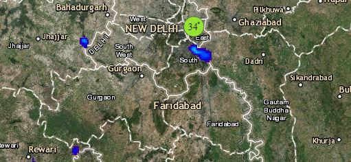
Click the image below to see the live lightning and thunderstorm across India
Back at Central India, cool northerly winds have reduced day and night temperatures over most parts of Madhya Pradesh, Maharashtra, Chhattisgarh and Gujarat. However, now due to the change in wind pattern the temperatures will start rising gradually. And a significant rise is expected over the coastal belt of Maharashtra. Dry weather will continue over most parts.
In South India, the trough is extending from Maldives to Karnataka across interior Tamil Nadu. It will now further move Westwards. Due to this, rainfall activity will reduce in parts of Tamil Nadu, Karnataka and Kerala. However, scattered light rains will keep continuing over these parts.
Any information taken from here should be credited to skymetweather.com


