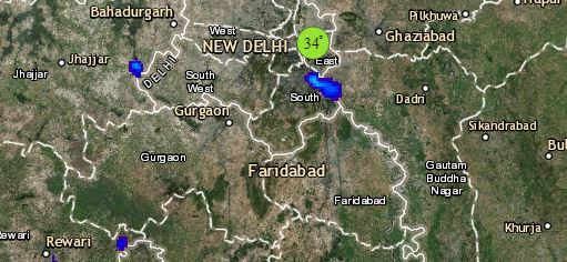
To begin with North India, a fresh Western Disturbance is seen over North Jammu and Kashmir. Its induced cyclonic circulation lies over West Rajasthan. Therefore, we expect scattered light to moderate rains are likely in Jammu and Kashmir, Himachal Pradesh and Uttarakhand. Snowfall may also occur over the higher reaches of all these states. Dust storm and thunderstorm activities are possible in Punjab, Haryana, Delhi, North Rajasthan and West Uttar Pradesh.
Moving towards Central India, a trough is extending from East Madhya Pradesh to South India across Vidarbha. Therefore, isolated rains are possible in parts of Vidarbha, Marathwada, South Madhya Maharashtra and Chhattisgarh. Heatwave conditions will continue in parts of Rajasthan and West Madhya Pradesh.
In East/Northeast India, a trough is running from East Bihar to North Bay of Bengal. Humid winds form Bay of Bengal are feeding moisture over the northeastern states. Therefore, light to moderate rain and thundershowers will continue over the northeastern states, Sub-Himalayan West Bengal and Sikkim. East Bihar and parts of Odisha may also get few spells of rain.
Click the image below to see the live lightning and thunderstorm across India
In South India, isolated rains are possible over Telangana, Karnataka and Kerala. Weather in Tamil Nadu will remain dry and hot. Southern islands of Andaman may also receive rain.
Any information taken from here should be credited to skymetweather.com


