Beginning with North, a fresh Western Disturbance is over North Pakistan and its induced Cyclonic Circulation is over Central Pakistan. Thus, isolated rain activities might commence over Jammu and Kashmir. Weather of Himachal Pradesh would be partly cloudy. While over the plains, dry and hot winds from the Northwest would continue over Punjab, Haryana, Delhi, West Uttar Pradesh and North Rajasthan.
Temperatures would increase further and heat wave like conditions are expected over parts of Haryana and Rajasthan.
While in Central India, day temperatures over South Rajasthan, Gujarat, Madhya Pradesh, Vidarbha, Marathwada and North Madhya Maharashtra have crossed 40°C. We expect further rise in temperatures leading to heat wave conditions at isolated pockets of these states. Night temperatures are also expected to rise gradually. Weather to be dry over all the places except South Chhattisgarh where isolated thundershowers might be a sight.
Heading to East, a trough is extending from East Uttar Pradesh to Bihar and another trough is seen extending from East Bihar to South India across West Bengal and Odisha. Thus, scattered rains over Sub Himalayan West Bengal and Sikkim, Arunachal Pradesh, Assam, Meghalaya and as well as over Coastal Odisha would be witnessed. While, isolated rains might occur over Gangetic West Bengal and parts of Jharkhand. Weather of East Uttar Pradesh and Bihar would be dry.
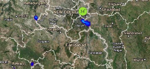
Click the image below to see the live lightning and thunderstorm across India
Down South, due to the north south trough running from Bihar till Kerala will be responsible for scattered thundershowers over Coastal Andhra Pradesh, Telangana, Kerala and interior Tamil Nadu. Whereas, isolated rains are a possibility over Rayalaseema and South Interior Karnataka. Weather of Coastal Tamil Nadu and North Interior Karnataka would be dry and hot.
Any information taken from here should be credited to skymetweather.com


