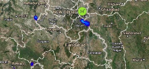
To begin with North India, the Western Disturbance lies over East Jammu and Kashmir and a trough is extending across the foothills of Himalayas. Due to these weather systems, light to moderate rain and snow will continue over Jammu and Kashmir, Himachal Pradesh and Uttarakhand. However, these weather activities will start reducing from Jammu and Kashmir and Himachal Pradesh by today evening. Scattered rain and thundershowers may occur over parts of Punjab, Haryana and foothills of Uttar Pradesh. Weather in Delhi and Rajasthan will remain dry.
Moving towards East/Northeast India, a trough is extending from Jharkhand to south peninsula. Therefore, rain and thundershower activities are likely to increase over East Uttar Pradesh, Bihar, Jharkhand and Gangetic West Bengal. Meanwhile, isolated rain may occur over Arunachal Pradesh, parts of Sikkim and North Assam.
In Central India, isolated rain and thundershower is expected over Chhattisgarh. Along with this, rain may also occur over Vidarbha and East Madhya Pradesh. Due to cold northwesterly winds, minimums of Rajasthan, Gujarat, West Madhya Pradesh, Madhya Maharashtra and Konkan & Goa will drop.
href="https://www.skymetweather.com/lightning-and-thunderstorm-across-india-live-status/">
Lastly in South India, a confluence zone is seen over South Interior Karnataka. Thus, isolated rains are expected over Telangana, Interior Karnataka and Kerala. Rest all parts of South India will remain dry.
Any information taken from here should be credited to skymetweather.com


