At present, the Monsoon trough is defused and remains unmarked.
During the last 24 hours, courtesy Cyclone Daye, Monsoon remained vigorous over Gangetic West Bengal, Odisha and South Chhattisgarh. At the same time, active monsoon conditions were witnessed over Karnataka, Telangana, Coastal Andhra Pradesh and Sub-Himalayan West Bengal.
Major rainfall contribution came from Contai in West Bengal that recorded 252 mm of rain, followed by Balasore 141 mm and Koraput 100 mm.
As on September 21, the country wide rainfall deficiency stands at 10 percent. South India is the only sub division which is witnessing normal rains. Meanwhile, northwest, central and east & northeast India continue to be rain deficient by 7%, 7% and 25%, respectively.
During the next 24 hours, vigorous Monsoon conditions would be seen over South Chhattisgarh, Vidarbha and parts of Telangana, giving scattered moderate to heavy rains. At the same time, Monsoon would remain active over South Madhya Pradesh and parts of Marathwada.
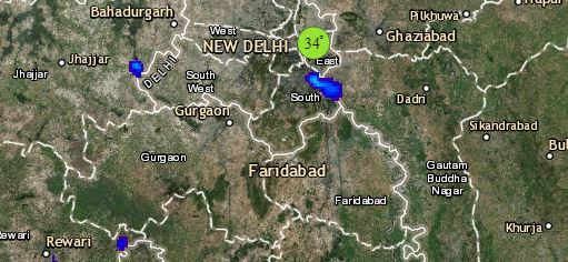
Click the image below to see the live lightning and thunderstorm across India
Meanwhile, normal Monsoon rains will occur over West Bengal, Jharkhand, Odisha, rest of Chhattisgarh, Madhya Pradesh, parts of Uttar Pradesh, Konkan & Goa, Coastal Karnataka, Assam, Meghalaya, Arunachal Pradesh and Nagaland.
Please Note: Any information picked from here should be attributed to skymetweather.com


