Southwest Monsoon has further advanced over into some more parts of Odisha, Gangetic West Bengal, Arunachal Pradesh and most parts Assam, Meghalaya and Sikkim.
Talking about Monsoon’s progress, the Northern Limit of Monsoon is now passing through Thane including Mumbai, Ahmednagar, Buldhana, Amravati, Gondia, Titlagarh, Cuttack, Midnapore, Goalpara and Baghdogra.
[yuzo_related]
Monsoon will not further advance during the next few days as the Monsoon current is weakening.
In the last 24 hours, Southwest Monsoon remained vigorous over Mizoram and active over Kerala, South Konkan and Goa and parts of Coastal Karnataka. Meanwhile, Monsoon remained normal over, Gangetic West Bengal, remaining northeastern states, Odisha and Telangana.
Major rainfall contribution came from Aizawl where 148 mm of rains were witnessed followed by Kailashahar at 137 mm, and Lengpui at 104 mm of rains.
During the last 24 hours, country witnessed 33 percent surplus rains with this pan India rainfall remains surplus by 18 percent. With these hefty showers, South, Central and Northwest are rain surplus by 82, 72 and 9 percent, respectively. Meanwhile, East and Northeast India are rain deficient by 50 percent.
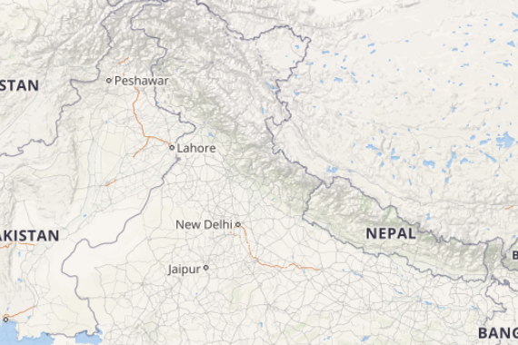
Click the image below to see the live lightning and thunderstorm across India
In the next 24 hours, active to vigorous Monsoon conditions are likely over Nagaland, Manipur, Mizoram and Tripura. In fact, rest of Northeast India, Odisha, Vidarbha and Marathwada will also observe active Monsoon conditions. Konkan and Goa, Coastal Karnataka and Kerala will witness Normal Monsoon rains. Meanwhile, subdued Monsoon rains are expected over Andhra Pradesh, Tamil Nadu, Gangetic West Bengal, Andaman and Nicobar Islands and Lakshadweep.
Please Note: Any information picked from here should be attributed to skymetweather.com


