Monsoon remained extremely vigorous over Gangetic West Bengal while vigorous conditions were seen over Jharkhand, East Uttar Pradesh, East Gujarat, South Rajasthan, Nagaland, Manipur, Mizoram, Tripura and North Odisha.
Monsoon remained active over West Uttar Pradesh, Himachal Pradesh, Uttarakhand, Jammu and Kashmir, rest parts of Rajasthan and Gujarat region, rest of northeastern states, Bihar, Madhya Pradesh, Chhattisgarh, South Odisha, North Maharashtra and West Coast.
Major contribution came from Deesa that recorded 269 mm rain, followed by Bankura at 226 mm and Idar at 151 mm.
[yuzo_related]
As on July 24, the cumulative countrywide rainfall is now surplus by 4%. Presently, Northwest India is rain surplus by 18%. Central India is rain surplus by 14%. Rest of South, East and Northeast regions of the country are still rain deficit.
The Axis of Monsoon trough continues to pass through Bikaner, center of low pressure area, Shivpuri, Gazipur, center of well-marked low pressure area over Gangetic West Bengal & adjoining Jharkhand and up to North Bay of Bengal.
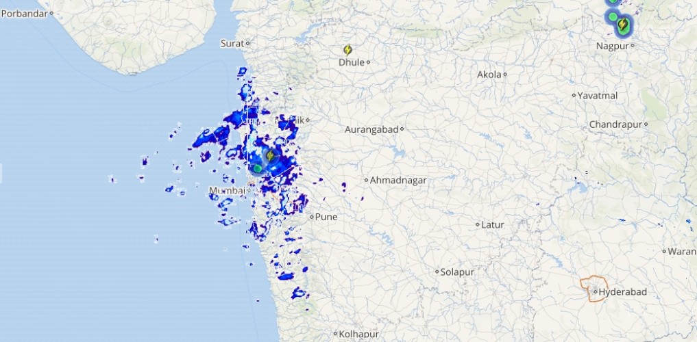
Live status of Lightning and thunder

During the next 24 hours, Vigorous Monsoon conditions will be seen over parts of Rajasthan, West Bengal, Jharkhand, Bihar, East Uttar Pradesh, North Odisha, North Chhattisgarh and adjoining Madhya Pradesh.
Monsoon will remain active over Gujarat, Konkan and Goa, Coastal Karnataka, northeastern states, Uttarakhand, Himachal Pradesh and West Uttar Pradesh. Light to moderate rains is expected at some parts of Punjab, Haryana and Delhi.
Flood hit Gujarat will continue with heavy rains, which will keep the situation grim.
Please Note: Any information picked from here should be attributed to skymetweather.com


