Southwest Monsoon remained vigorous over Andaman and Nicobar Islands parts of Odisha and Chhattisgarh.
Active Monsoon prevailed over West Bengal, Bihar, Jharkhand, Odisha, Chhattisgarh, Karnataka, North Tamil Nadu, Andhra Pradesh and Northeast India.
Major rain contribution came from Long Island that recorded 126 mm of rainfall, followed by Sambalpur at 85 mm and Jharsuguda 65 mm.
On August 16, the cumulative countrywide rainfall stands at -4%. As far as the regional distribution is concerned, Northwest and East and Northeast India are rain surplus by 3%. Whereas, Central and South India are rain deficient by 9% and 16%, respectively.
At present, the western arm of the axis of Monsoon trough is passing through Muzaffarpur, Malda, Digha towards Bay of Bengal. However, the eastern arm is running close to the foothills of Himalayas.
[yuzo_related]
During the next 24 hours, moderate to heavy rains are likely over Odisha, Chhattisgarh, Andhra Pradesh Coast, Telangana, and Vidarbha.
Normal Monsoon conditions are likely over North Tamil Nadu, Kerala, Coastal Karnataka, and adjoining areas of Maharashtra.
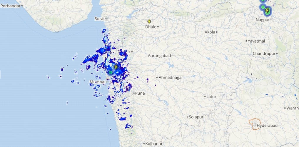
Live status of Lightning and thunder

Rain intensity is likely to reduce over Bihar, Jharkhand, West Bengal and Northeast India.
Please Note: Any information picked from here should be attributed to skymetweather.com


