Hurricane Irma has been recorded as the strongest in the history of Atlantic. Massive damage has been seen in many parts of the Caribbean with the Barbuda Islands demolished. Even now, Irma continues to be a Cat 5 Hurricane which is the highest possible level for a storm.
At present, the eye of Irma is passing north of the Great Inagua Island with the current wind speed being at 160 mph. Maximum wind speed is predicted to be up to 165 mph. Thus, hurricane warnings remain for the Bahamas, Turks and Caicos Islands, Cuba, Haiti, Dominican Republic, Le Mole, St Nicholas until early Saturday with torrential winds and hefty rains in store for these regions.
[yuzo_related]
The water levels in south-eastern and central Bahamas could be 15 to 20 ft. more than the normal levels. Evacuations continue to be in place for regions which will be affected by the storm. During late Saturday hours, Irma will move towards Florida Peninsula as well as Florida Keys which may witness life threatening winds and hefty rainfall. Until then, Irma will continue to be a major hurricane.
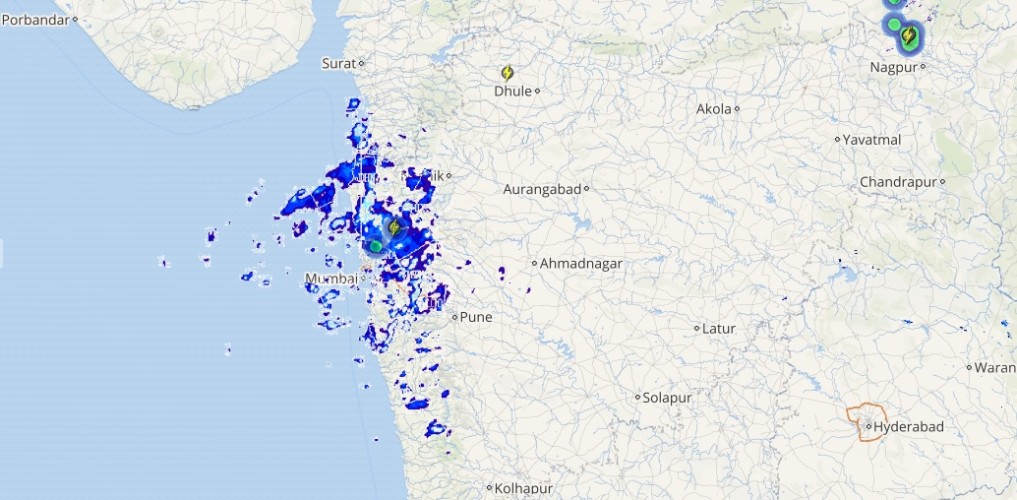
Live status of Lightning and thunder

Furthermore, Carolinas and Georgia may also face some devastation but it is too soon to predict the damage here. Also, during this time, Irma will weaken into a tropical storm.
Please Note: Any information picked from here should be attributed to skymetweather.com


