On Sunday morning, Deep Depression in Bay of Bengal has intensified into the Cyclonic storm Gaja which is presently seen over East-central and adjoining West-central and Southeast Bay of Bengal.
Moving in west-northwestwards, the system is centered around 390 km West-Northwest of Port Blair, 980 km Northeast of Chennai and 1000 km East-Southeast of Nellore.
According to weathermen, the system is moving in extremely favorable conditions and is most likely to become a Severe Cyclonic Storm during the next 24 hours.
As per Skymet Weather, there is long sea travel ahead for Gaja, along with warm sea surface temperatures and low vertical wind shear, resulting in further intensification.
Weather models are indicating that the cyclonic storm would continue to track West-northwestwards during the next 36 hours. Thereafter, it would change the direction and move West-Southwestwards towards the coasts of North Tamil Nadu and South Andhra Pradesh during the subsequent 48 hours.
However, as the system nears the coast, it would start weakening gradually. Gaja would make landfall as a Cyclone and cross North Tamil Nadu and South Andhra Pradesh Coasts by the forenoon of November 15.
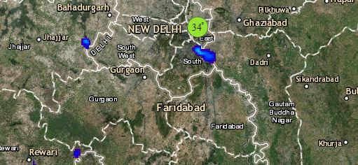
Click the image below to see the live lightning and thunderstorm across India
As of now the system is quite far away from the Indian mainland to give any weather. During the next 24 hours, however, Andaman and Nicobar Islands are likely to record fairly widespread rainfall with some heavy spells as well.
Around November 14, scattered rains will commence over Chennai and coastal Tamil Nadu. Intensity would also rise around November 15 and we expect heavy to very heavy rains over the area. Though intensity of rains would start decreasing by November 16, but many districts of Tamil Nadu and South Interior Karnataka would continue with good rains.
Any information taken from here should be credited to skymetweather.com


