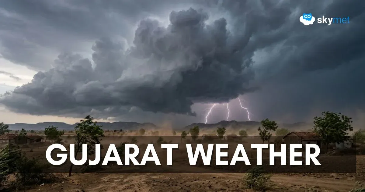
Unseasonal Pre-Monsoon Activity Over Gujarat: Hailstorm Likely

Representational Image: AI-Skymet
Key Takeaways:
- Rare pre-monsoon activity expected across Gujarat
- Multiple weather systems interacting to trigger storms
- Intense thunderstorms and possible hail between April 2–8
- No heatwave risk across the state during this period
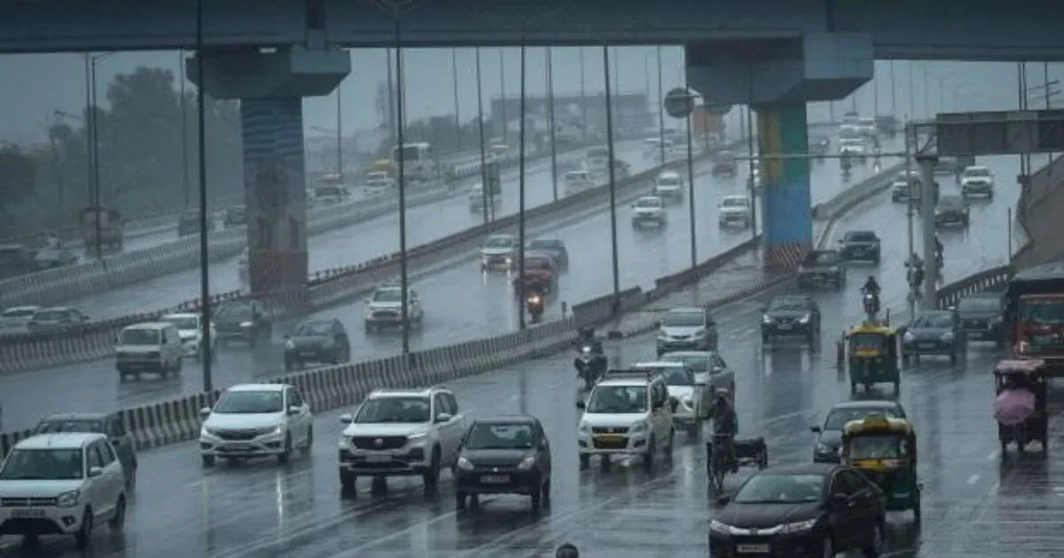
Pre-Monsoon activity is normally not observed over the state of Gujarat in March and April. The region remains far from the reach of western disturbances of North India and also maintains a safe distance from weather systems over the South Peninsula. There were some aberrations earlier during March, when parts of Saurashtra witnessed bizarre weather activity. Rajkot recorded an unprecedented heavy hailstorm on 19th March, accompanied by very strong winds. The state is more familiar with excruciating spells of heat and little known for any dust storm or thunderstorm, especially in March–April. The state is likely to come up with another round of freak weather activity, commencing shortly.
The upcoming activity will be a case of interaction between weather systems of North India, perturbations over the Arabian Sea, and seasonal wind discontinuity over Peninsular India. A western disturbance and induced circulation are moving across North India. A fresh and another active western disturbance will follow soon and reach the Western Himalayas on 02nd April 2026. A pair of cyclonic circulations, placed over West Rajasthan and the Northeast Arabian Sea respectively, will make a juxtaposition. A fairly long north-south stretch of pre-monsoon hazardous weather belt will cover plains and mountains of North India simultaneously. The activity begins anytime soon, tomorrow. A deep trough in the upper atmosphere, placed favourably in the rear, will further catalyse and accelerate the process. A north-south low-level wind discontinuity/trough from North Madhya Maharashtra to interior Karnataka, across South Gujarat and Konkan, will provide a support arm to enhance the scale and spread of pre-monsoonal weather. Under the combined influence of all these systems, large parts of the country will be hit by high-risk weather activity.
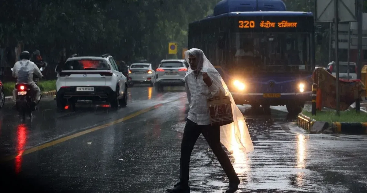
For the state of Gujarat, isolated weather activity will begin tomorrow. The intensity and spread will increase between 02nd and 04th April, to cover South & Central Gujarat and adjoining parts of Saurashtra. More pockets of intense stormy activity are likely to cover North & Central Gujarat and Saurashtra & Kutch between 05th and 08th April 2026. Going by the past incident, isolated hailstorms may occur yet again over some parts of the state. Heat wave conditions are unlikely over the entire state during this period.