
Commercial activity in space relies heavily on satellite launches and should not be expected to change in this area in 2022. This growth in the sector is driven by the fact that launching satellites into orbit is cheaper every year, and at the same time, the number of use cases is growing. GPS and satellite imagery are used today in many areas of human activity, and the list is expanding.
Reports in recent years have shown that launching a satellite is now comparable to the cost of launching an application. Large companies and start-ups can now use the technological capabilities of remote sensing. Moreover, in 2022, Fleet Space Technologies plans to launch satellites printed on a 3D printer. Satellites are getting smaller and lighter, which has allowed the Chinese company Galaxy Space to launch about 1,000 small satellites. They are used in sectors such as aviation, automotive, and shipbuilding.
Top 5 Sources of Free Remote Sensing Data
LandViewer
With LandViewer, you can get high-resolution satellite imagery for analytics worldwide. This online GIS assistant is equipped with real-time search and processing of satellite data to extract valuable information and find the right solutions for your business. Using the web map service, you can integrate LandViewer data with third-party software as it is compatible with other GIS tools. Highlight your AOIs on the map, and the server will focus on them to offer you relevant images.
LandViewer also makes it possible to ensure that historical satellite imagery are useful. On archival satellite images, you can see what changes have occurred in the selected area. Compare past and present images in LandViewer and get an interactive map of the event.
LandViewer also gives you access to online image processing that doesn't take much time or effort. The online calculation of spectral indices can be downloaded quickly. Among LandViewer's wide range of features, you'll also find raster processing and clustering tools. It's also possible to focus on particular data types to create animated materials and videos.
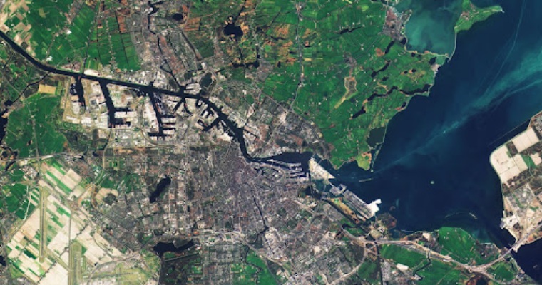
Google Earth
Google Earth provides users with free access to high-resolution satellite imagery. Also, the highest resolution images taken from the aircraft are available. The service stores photos for the last 3-4 years. In addition, you can use Google Timelapse and see how our world is changing. The main advantages of this service are free to use and an extensive library.
NASA Worldview
NASA's Worldview software provides users with 600 full-resolution global layers of satellite imagery. The images give you a chance to see our planet as it is now, as they are usually updated within three hours. Users can also easily create various animations applying the images and share them.
Planet Labs
Planet Labs is the most prominent collector of images of our planet. The company has over 175 satellites in orbit. You can also get archival satellite imagery from 2009 and get the historical context in areas of interest. Thanks to the Planet Stories feature, users can use space images anywhere.
USGS LandLook
The USGS Earth Explorer gives you access to a gigantic collection of nearly 7 million scanned historical images. You can also view images from Sentinel-2 and Landsat since 1999. The platform is ideal for searching archival images. In addition, users can export pictures in various formats, including PNG and JPG.
What is free satellite data used for?
Satellite data is beneficial in many areas of human life. This technology allows you to monitor various natural hazards effectively and deal with natural disasters. Archival images are becoming more accessible and are updated regularly. It is a real treasure when it comes to risk and emergency management. Emergency mapping services such as Copernicus GIO use freely available images combined with commercial data. This data provides various services with accurate and timely information about a particular disaster.
The resulting information products can be used as digital or printed output cards. Users can also use them in combination with other data sources. Emergency managers can make timely and effective decisions with the proper geospatial analysis.
Satellite imagery is also vital during the disaster recovery phase. With the help of the images, specialists can assess the damage and analyze the condition of the lost lands due to forest fires. In this way, emergency services can correctly set damage and plan recovery activities accordingly.
The use of free satellite data also plays an essential role in disaster risk reduction. They make it possible to identify the most vulnerable areas at risk in advance. Satellite view enables experts estimate the extent of potential damage and reduce the impact of natural disasters.
Conclusion
Today, we have a lot of possibilities to find free satellite images. Various platforms and services to offer high-resolution, archival, and near-real-time imagery. Thus, specialists can monitor multiple changes on our planet, identify patterns, assess the consequences, and take actions to prevent natural disasters.
