Storms bringing severe weather conditions will move from the Northern Plains to the Upper Midwest on Wednesday and Thursday.
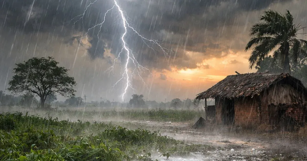
These storms will bring along the threat of strong gusty winds, hail and frequent lightning strikes. In fact, these gusts can reach up to 70 mph. Some of these storms will bring the potential for heavy downpours, which can lead to flash flooding in few communities.
The greatest risk of this weather activity will be over Bismarck, North Dakota, South Dakota and Rapid City, during Wednesday afternoon and evening.
Through Wednesday night, the peril for locally violent storms will cover Winnipeg in Manitoba to Fargo in North Dakota, and Huron in South Dakota.
Locally damaging squalls can reach up to eastern parts of Minnesota and eastern South Dakota during late Wednesday night. Most probably the Minneapolis area will also come under its influence.
The storm risk will reach parts of Minnesota, Wisconsin, Iowa and Michigan during Thursday.
The threat for severe weather will extend to Des Moines, Iowa; Madison, Wisconsin; Omaha, Nebraska; Marquette, Michigan; Milwaukee and Chicago during Thursday afternoon and night.
On Friday, the potential for heavy to locally severe storms will stretch from the eastern Great Lakes to the Ohio and middle Mississippi valleys.
A major push of cooler and less humid air will follow these storms. High temperatures will be in the upper 80 degrees Fahrenheit to near 90 degrees Fahrenheit will be replaced with highs in the upper 70 degrees Fahrenheit to lower 80 degrees Fahrenheit.
Image Credit: www.japantimes.co.jp
Please Note: Any information picked up from here must be attributed to skymetweather.com


