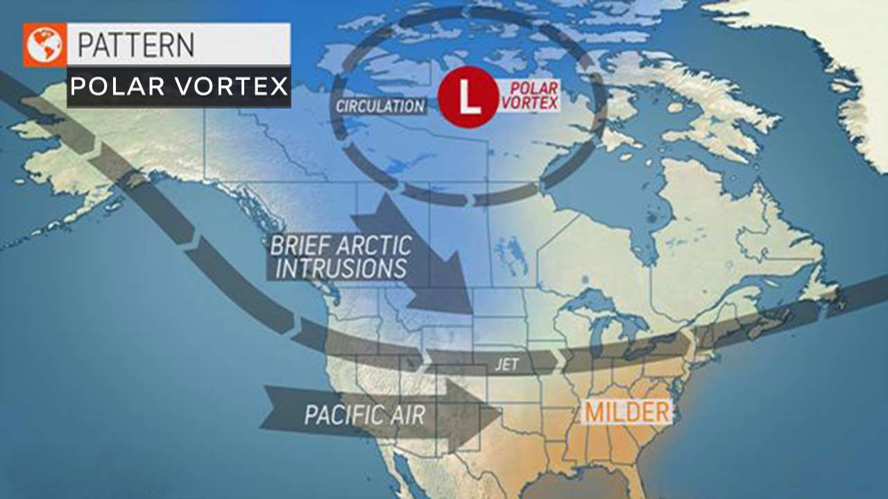
Polar Vortex is a large pool of frigid air, which sits over Polar region. Polar Vortex is an Arctic Blast also known as Arctic Cyclone, Sub Polar Cyclone, Arctic Blast and is synonymous with the low-pressure area which persists over the Arctic region. It rings an alarm as far as the weather conditions are concerned in the United States and Canada, during the winter season. The Polar Vortex remains confined to the Polar region but at times, finds a way to the United States.

Low Pressure Areas always persist over the Arctic and are called Polar lows. However, these lows strengthen in winters. Until the time they are strong and remain very tightly packed, it remains in the Arctic region. If the Polar Vortex is strong, chances of breakdown are very little.
However, because of some undulation caused by westerly jet streams (strong winds blowing from west to east) some kinks develop, causing the cold air to breach, thus cold air percolates to the lower latitudes, reaching Canada, the Pacific Northwest of United States and even the Midwest.
When its peripherals are breached, then inclement weather conditions, i.e. cold air, which further results in snowfall, at times blizzard conditions over Canada, Upper Midwest, Rockies and at times even reaches the California region.
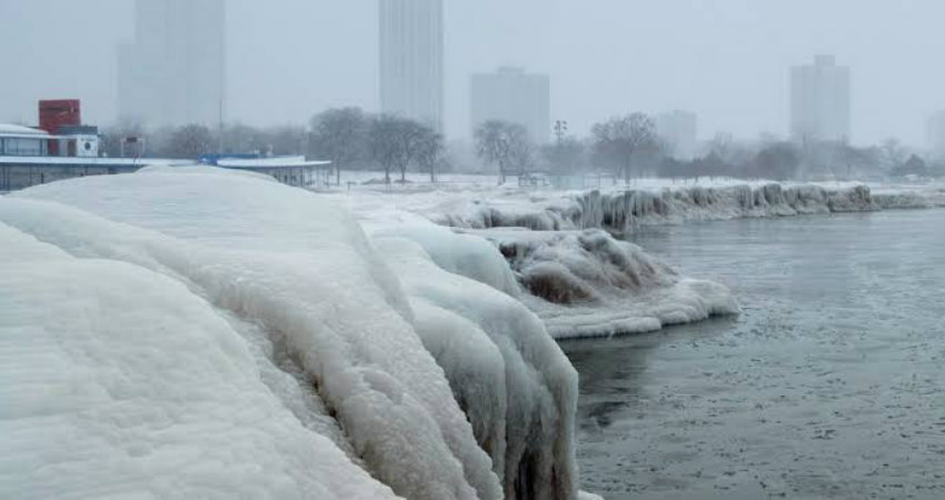
Also, the invasion of this cold air reaching parts of Canada and United States is quite a common affair in winters, and usually takes place in January, further resulting in biting cold conditions, blankets of fog, frozen lakes and blizzard conditions.
Talking about the current scenario, such condition is not likely in the next couple of weeks. However, towards the end of January, conditions may build up. Though, as of today, the time of its occurrence is quite indefinite, but some models are indicating that such a situation may be seen by month end.
Image Credit: AccuWeather
Please Note: Any information picked from here must be attributed to skymetweather.com


