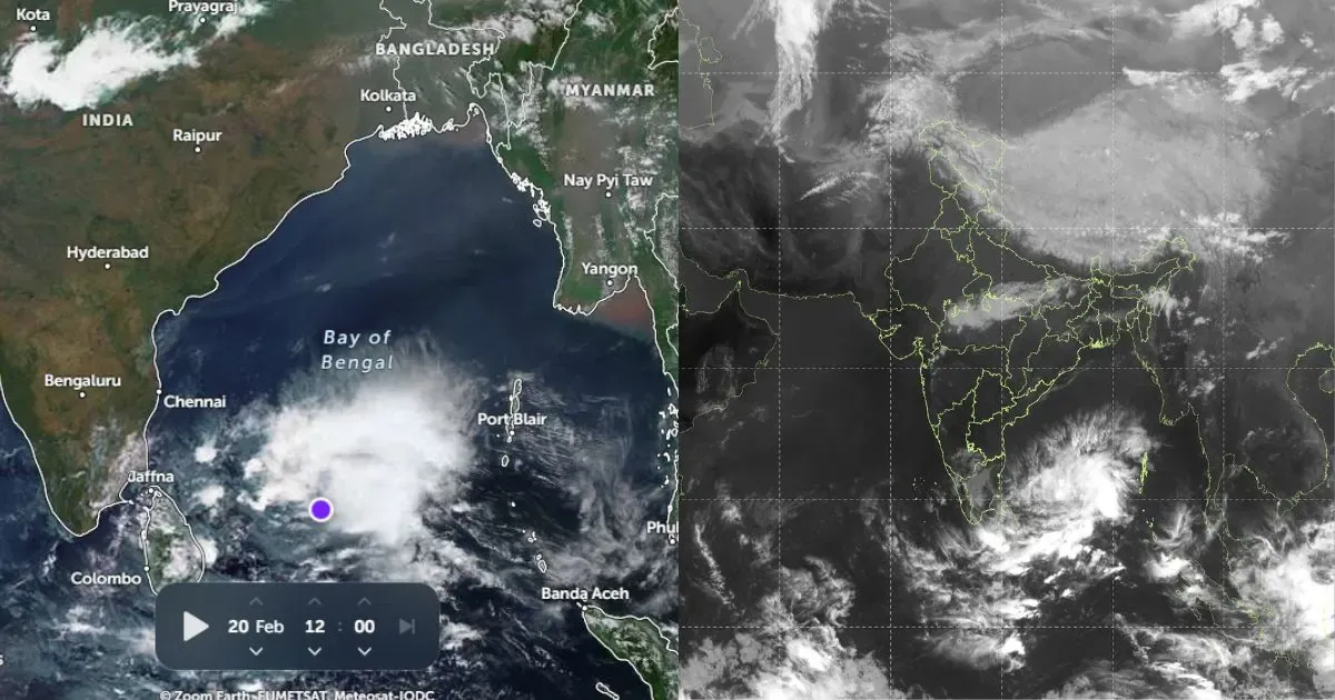
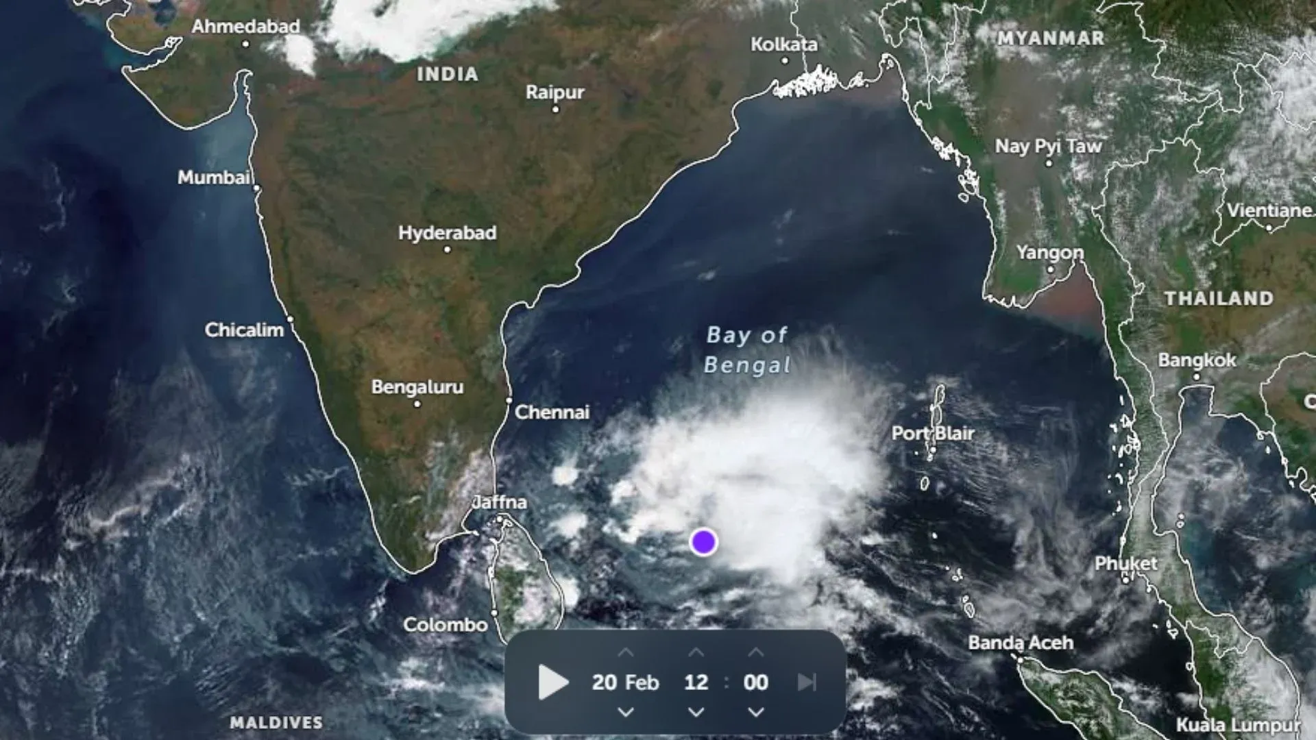
 India’s advanced weather satellite INSAT-3D has completed two years in orbit. The INSAT-3D is designed for the purpose of making improved meteorological observations. The satellite is of key importance in monitoring land and ocean surfaces weather forecasting as well as disaster warning.
The satellite was launched via a European rocket from French Guyana on July 26, 2013. It is the first geostationary satellite of Indian origin. The satellite is equipped with a sounder instrument which delivers high quality atmospheric profiles over the Indian sub-continent land mass.
In fact, INSAT-3D provides a variety of atmospheric products like atmospheric winds, sea and land surface temperatures, radiation of the earth, ozone, fog, snow, quantitative rainfall, and more. All these products are instrumental in monitoring day-to-day weather conditions. They’re also vital in predicting extreme weather events like cloud burst, thunderstorm, heat wave, and tropical cyclone.
International agencies like European Centre of Medium range Weather Forecast (or ECMWF) and the United Kingdom Meteorological Office (UKMET) are exploring the possibilities of utilizing data derived by INSAT-3D in their global models.
It was INSAT-3D which actually paved the way for Indian Space Research Organization (ISRO) to become a member of the prestigious Coordination Group of Meteorological Satellites (CGMS) at Boulder, Colorado back in May 2015.
The radiances from INSAT-3D are regularly monitored by Global Space based Inter Calibration System (GSICS) to ensure quality and accuracy. Thus at any given point of time, observations from INSAT-3D are at par with international standards of quality.
(Featured Image Credit: spaceref.com)


