Looks like Southern Britain is all set to swelter in the highest bank holiday temperatures.
It is expected that parts of the country will see maximum temperatures in the low to mid 30 degrees at times through the bank holiday and during the early part of next week.
There is a chance that widespread thunderstorms later this week will help in lowering the temperatures. These are most likely across western Britain and where they occur there will be a risk of further flooding.
Also, mercury is expected to remain above average through the end of August with hot weather predicted to last through the start of autumn.
The weathermen foresee that hot weather could hold out well into September, however, there are signs of a change to something more unsettled around mid-month.
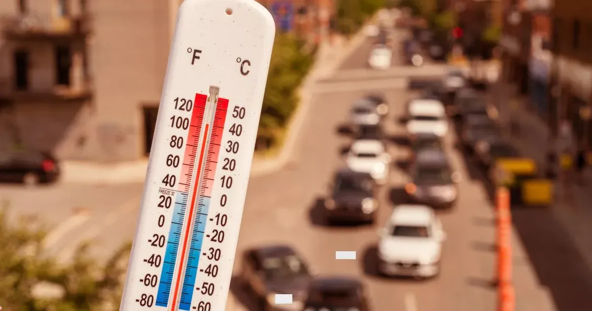
Already a new record temperature has been set for the late August bank holiday weekend, with 33.3 degrees recorded at Heathrow.
It is the second time in one day that the record has been broken after a temperature of 31.6 degrees which was recorded earlier - beating the 31.5C record set at Heathrow in 2001.
Earlier this year, the UK saw its highest ever recorded temperature (38.7C) during aheatwave in late July.
Last month was also the hottest ever recorded globally, according to meteorologists.
On Saturday, a new record for the highest late August bank holiday temperature in Wales was set when 27.4C was recorded near Aberystwyth.
People in those regions are advised to stay out of the sun, keep hydrated and look out for anyone who may be vulnerable to extreme heat, such as older people.
Experts have said the increased frequency of heatwaves is linked to human activity, with Antonio Guterres, the UN secretary-general, warning that this summer's record-breaking heat is a consequence ofclimate change.
Mr. Guterres further said that if we do not act on climate change now, these extreme weather events are just the tip of the iceberg. And, indeed, the iceberg is also rapidly melting.
Image Credits – The Independent
Any information taken from here should be credited to Skymet Weather